Making Due Diligence Easier
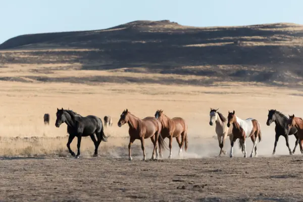
Before doing any land analysis, you first have to narrow down what you want in a potential property. This could include everything from the number of acres to the types of views offered, as well as the location of pipelines, transmission lines, and low water crossings.
Once you figure out what you want (and don’t want) from your real estate investment, you can use Land id™ to look up potential properties and assess them based on your goals, budget, and lifestyle. Our interactive 3D mapping is a huge help in getting to know a property, as this 3D view allows you to explore the area in a dynamic, visually compelling way.
Plus, Land id’s wide range of map overlays make it easy to examine details like: conservation easements, public lands, housing developments, access points, and flood zones. By incorporating strategic map overlays into your research process, you get a clear picture of which properties align with your criteria.
As Ryan Bramlette of Fay Ranches explains in our latest video, “You can tell early on using Land id™ if a ranch may or may not be a fit for a given buyer. We will have buyers that don’t want a ranch under a conservation easement. You can click on the conservation easement layer and quickly identify which ranches are [or are not] under these restrictions.”
You can even create and color-code maps in Land id™ to keep track of properties you're evaluating. This helps differentiate the ones you're still interested in vs those you’ve ruled out. For example, you might apply a green boundary to properties that check all your boxes, while a red boundary could indicate properties with one or more of your deal killers.